Active Incidents
This section will be updated with information for impacted residents if and when an emergency occurs in the province. Emergency alerts are issued in your area using SaskAlert. Find out how to get SaskAlert notifications.
Check out our Fire Ban FAQ fact sheet for more details on what's allowed and restricted during fire bans.
Active Wildfires and Other Incidents
Terminology
- Contained: Suppression action is taking place and the fire is not expected to grow in size.
- Ongoing Assessment: The fire is being monitored regularly to assess risk to values in the area.
- Protecting Values: The fire is active and action is focused on protecting values in the area, such as cabins and infrastructure.
- Not Contained: Suppression action is taking place, but the fire is expected to grow in size.
- Reclamation: Refers to the process of restoring wildfire-disturbed land to support vegetation, prevent erosion and sustain healthy ecosystems.
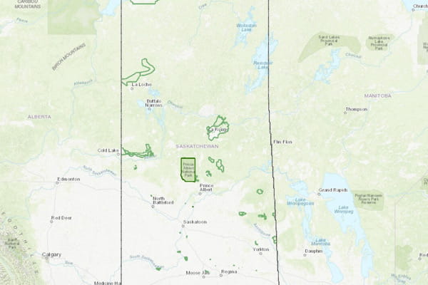
SPSA Emergency Response Map
Click the map below to view the SPSA Emergency Response Map.
This interactive map shows emergencies that the SPSA is currently supporting or leading. Events such as wildfires, flooding, and other emergency responses appear on the map when the SPSA is involved.
The map is updated in real time. You can use the map’s interactive tools to see more details about each incident, including past (historical) information.
All wildfire maps are updated daily. For information on the wildfire status in your area, please contact your local municipality or SPSA Response Centre Area Office.